5/11/2014
The SEALE LINE at 270.5 degrees begins near Shere Church and passes close to Chilworth Priory. The true alignment begins at Shalford Church, which is on two other alignments, and passes through Puttenham Church and on to Seale Church. The line terminates at Badshot Lea Long Barrow which is marked on the Ordnance Survey as the site of an Ancient Monument. I have used the coordinates of the barrow as given in Surrey Archaeological Society archives. The distance between Shalford Church and Puttenham Church is precisely 6 Druid Miles. An interesting coincidence on this line is that the distance between Puttenham Church and Seale Church and between Seale Church and Badshot Lea Long Barrow are identical at 11,840 feet.
270_13+ Badshot Lea
The only long barrow known to exist between the Kent and Wessex tombs and now completely destroyed. It was first discovered and excavated by the archaeologist William Rankine in 1936 not long before the surviving remains were removed by quarrying. It was thought that the barrow was originally some 140 feet long and orientated slightly north of east.
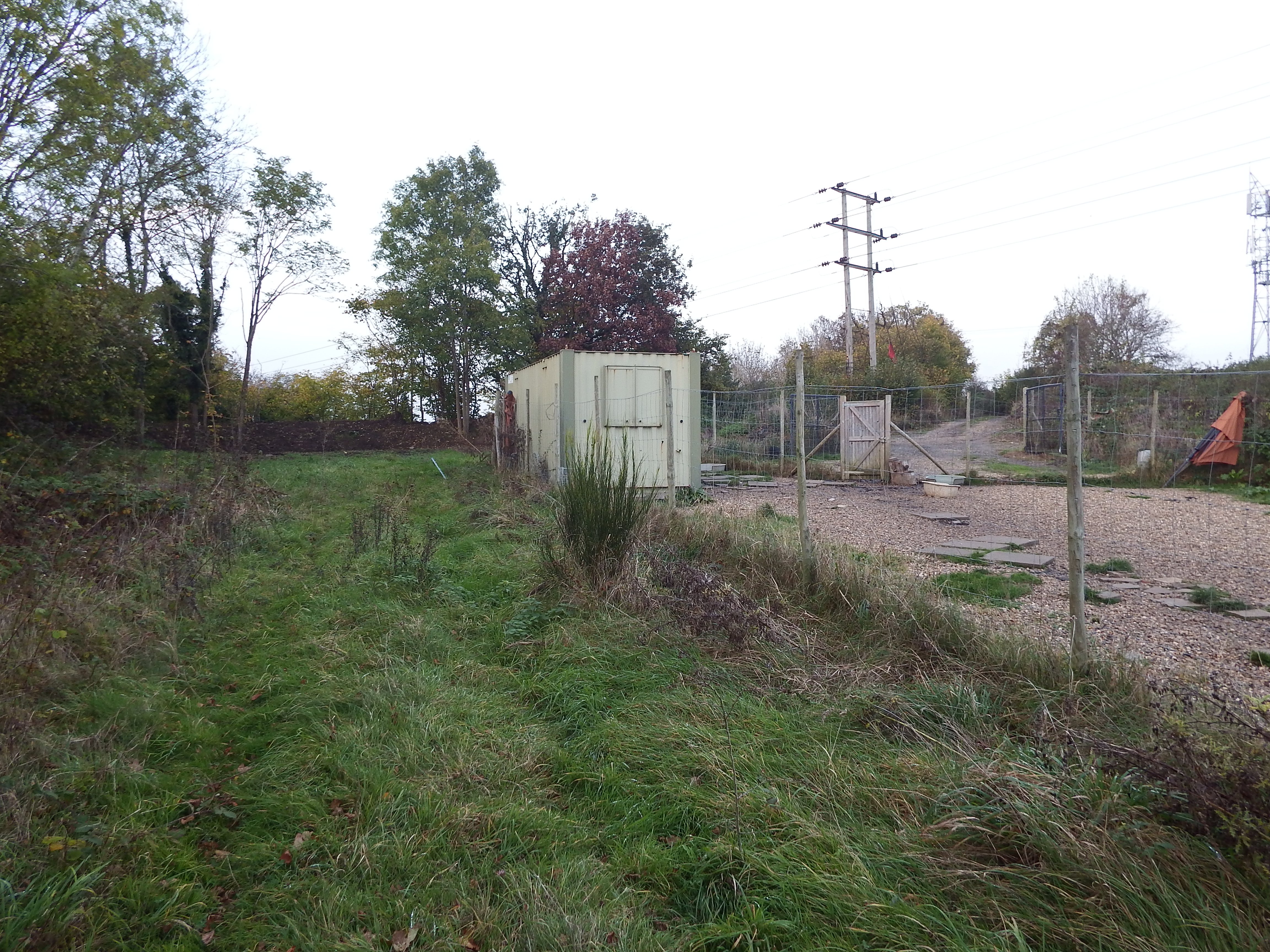
Looking north. The site is behind container with bund beyond. Access track is to right of Electricity poles.
The site is accessed by parking in Hurlands Place (Sat Nav Farnham not Badshot) just beyond the entrance to Sainsbury’s superstore, and parking near the entrance to Hurlands Business Centre. A public footpath can now be seen at the end of the road heading east. Once the railway bridge is crossed the path comes out into the open and a container in a fenced compound can be seen on the left. The site is just the other side of this container. Although this is private land the chap running a dog-minding business in the compound proved very amicable although the mention of the long barrow left him looking rather blank.
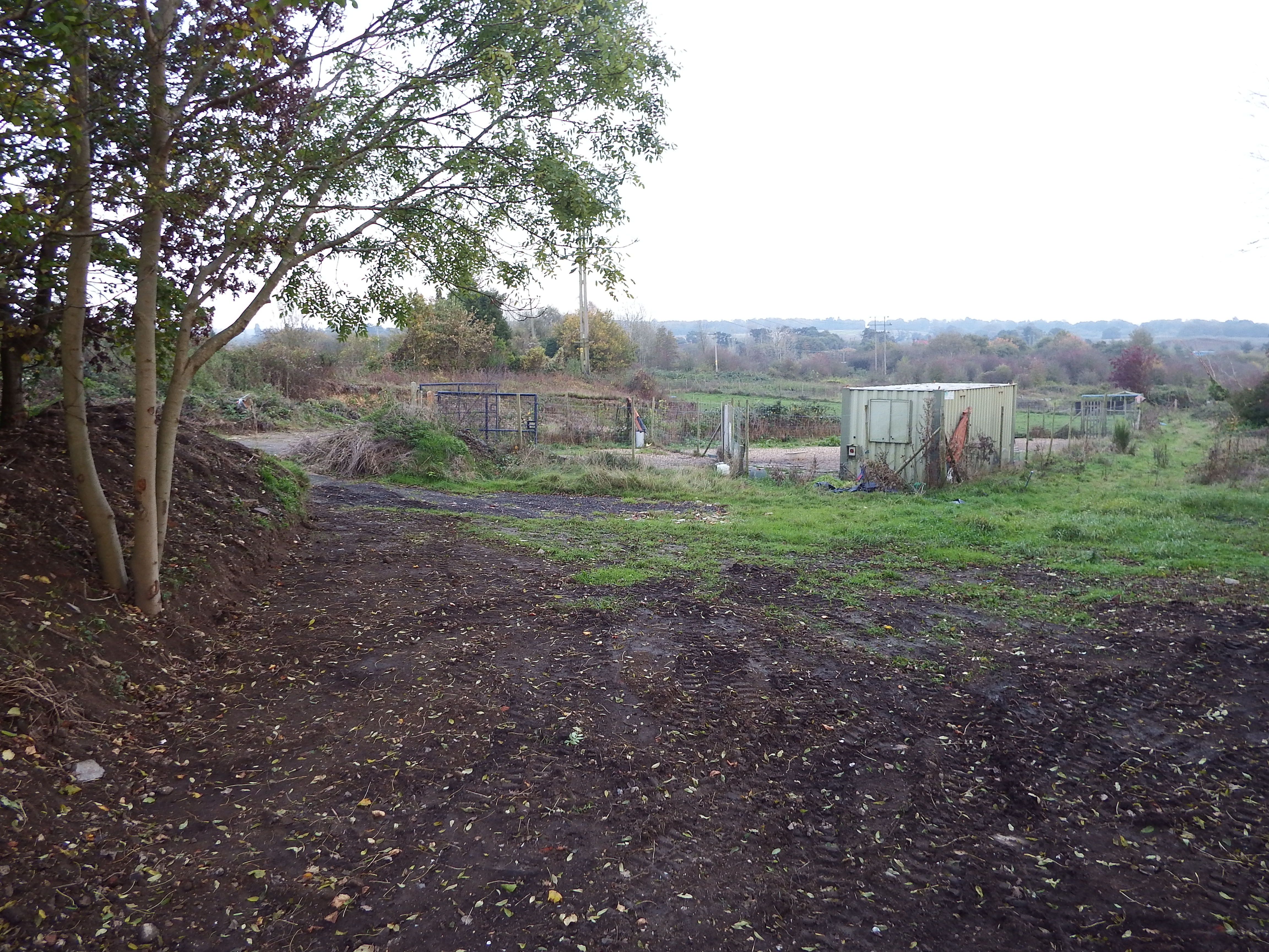
Site co-ordinates are halfway to container. Hogs Back on horizon. Bund on left and behind camera shielding quarry.
The ground here has a slight slope to the south. The site is on high ground with views in all directions apart from a segment to the east where the ground rises even higher. To the south the Hogs Back is visible with the South Downs just being visible beyond. To the south east Crooksbury Hill is prominent, and to the west and north the horizon is some miles distant. Without the current tree cover this would have been a pleasant spot but now it is in an area of rough scrub and small fields overshadowed by power lines and a radio mast.
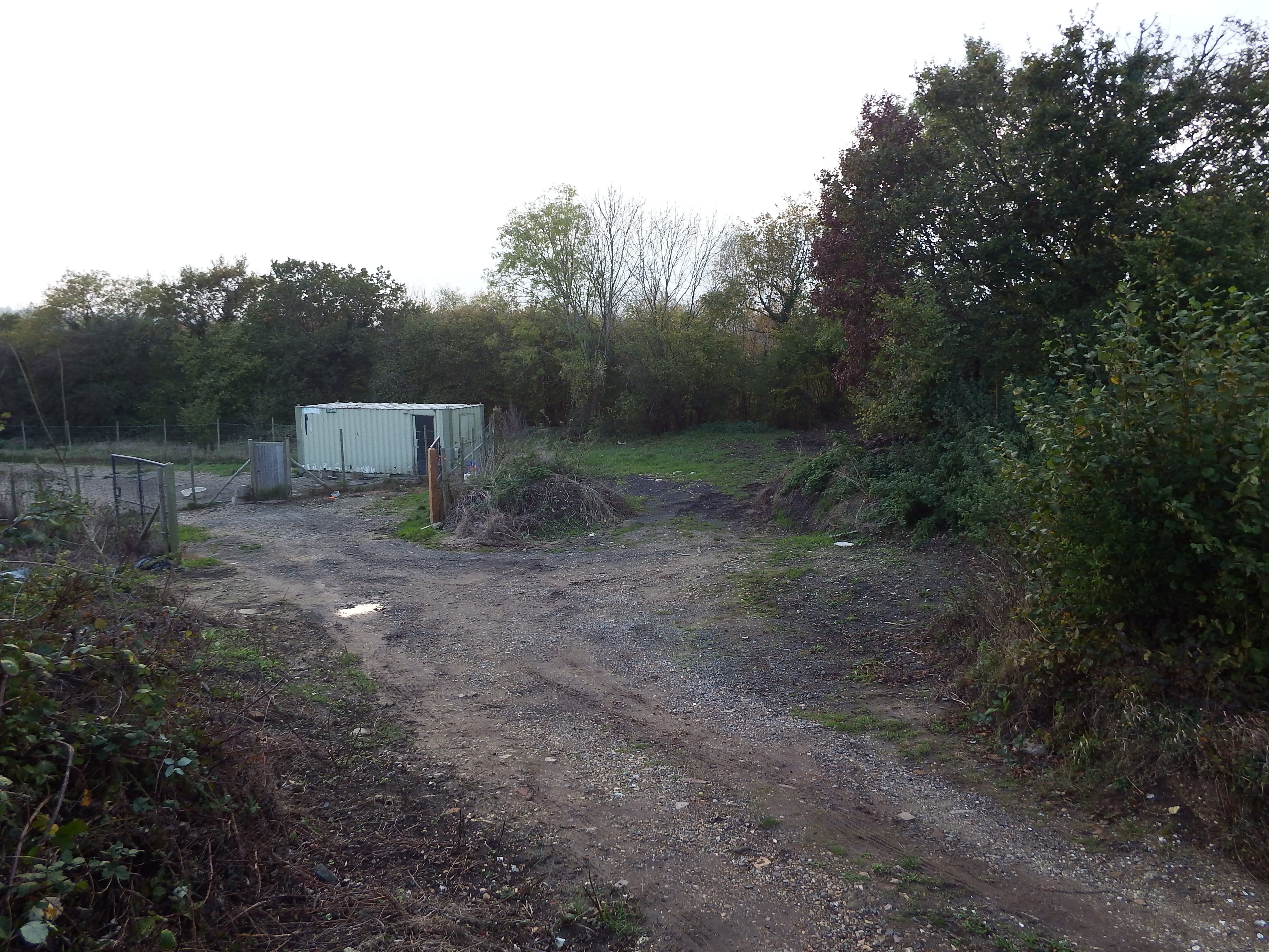
Site co-ordinates are on green patch in centre of view. Railway boundary hedge behind.
The site of the barrow is now a patch of scraped rubble and soils with a soil bund a few yards on the north edge beyond which is a disused quarry. There is a railway embankment to the western edge, heavily overgrown. Immediately to the south edge of the barrow site is a fenced compound housing the container. A rough metalled track provides access from the north east.
The site is so damaged by industrial activity that it is difficult to make out the original ground levels. My impression was that so much scraping of the ground in association with earth moving and storing activities had taken place that the current levels are below the original landform and that consequently no evidence of the barrow would be found by excavation. This assumption is backed up by the proximity of a small cliff some 25m to the south east. The face of the cliff, which is some two to three metres high, is virgin chalk showing that cutting into the landscape has occurred in the past.
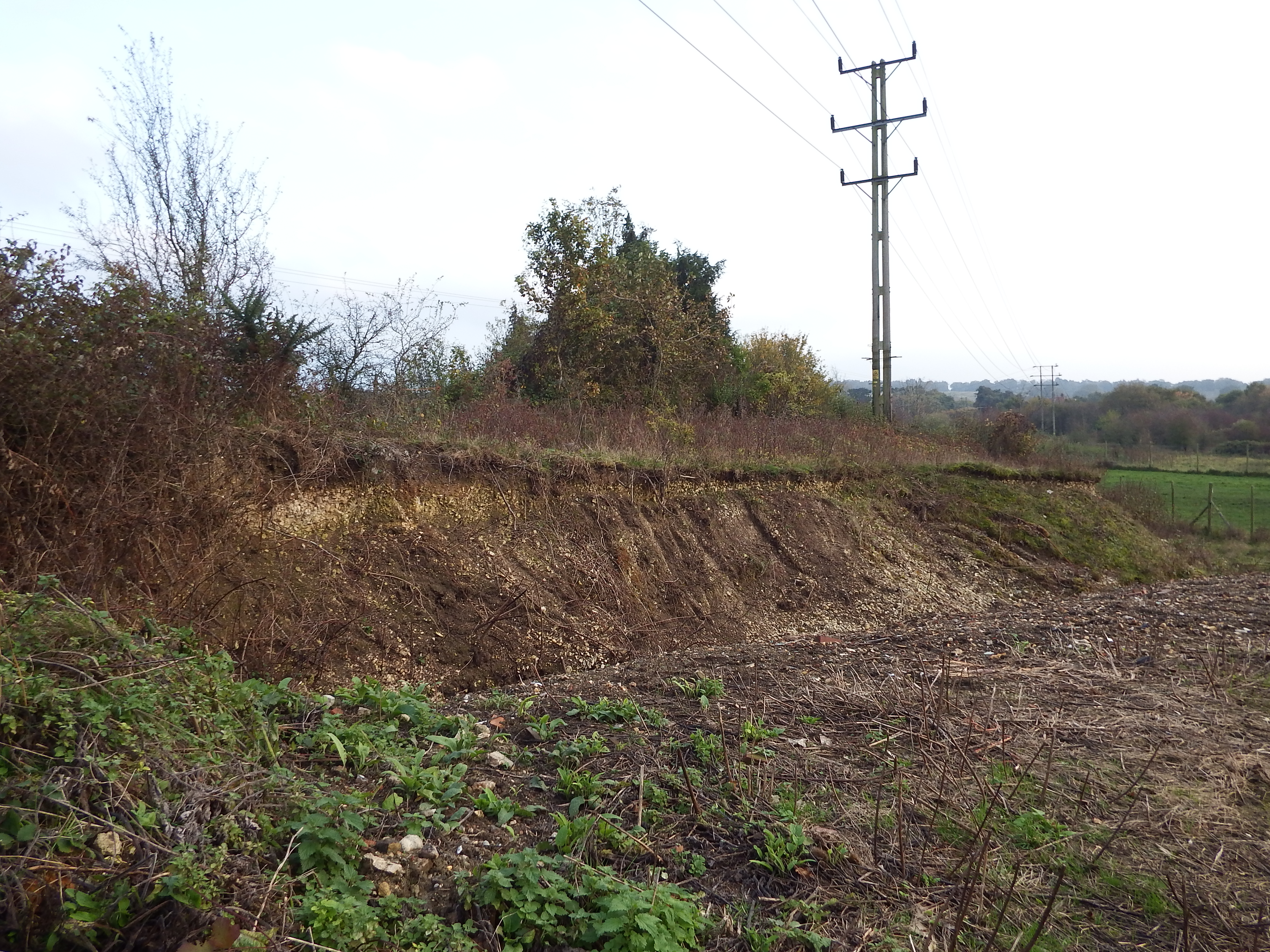
Chalk cliff showing how much the landform has been lowered.


