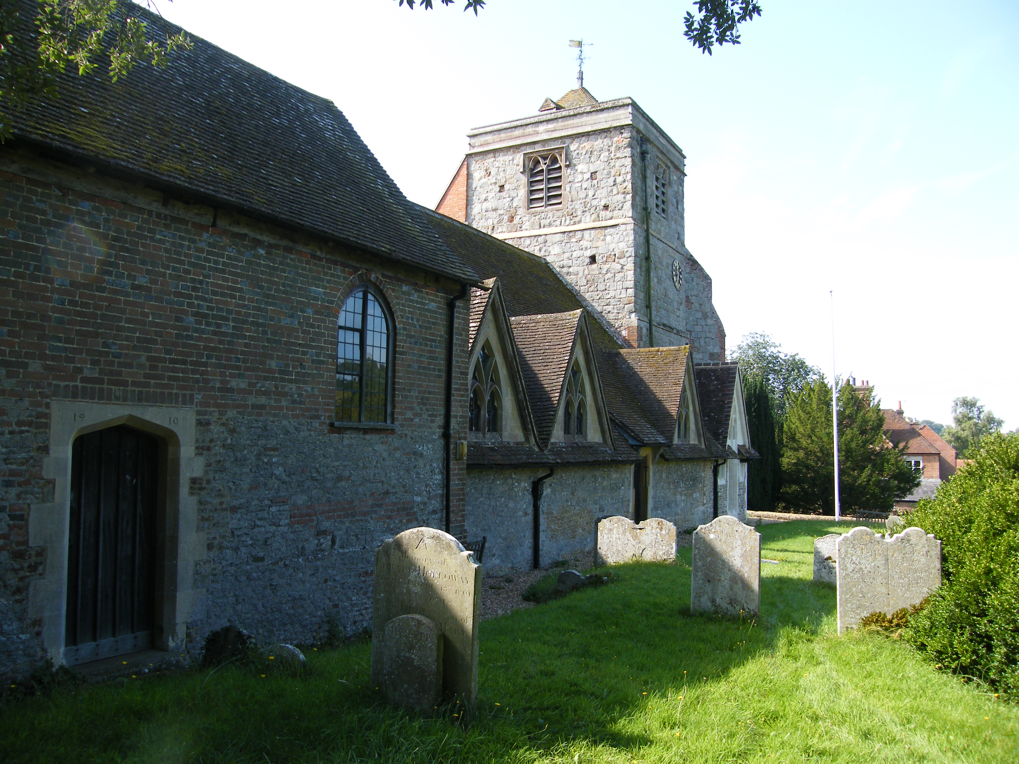
Chilworth is a linear village following the River Tillingbourne and was a centre for the manufacture of gunpowder from the 17th century until the First World War. The parish church has always been St Marthas, sited high above the village to the North, on what has been called Martyrs Hill. The church was rebuilt from ruins in 1848-1850. Of the original church the earliest visible remains date to the early 12th century. The church stands some 574 feet above sea level on a greensand Ridge.
There is an old folk tale that two chapels, St Martha’s and St Catherine’s, were built by two giant sisters to expiate some sin. But having only one hammer between them they tossed it from one to the other across the two-mile gap in the river valley until the chapels were built. A strange similarity to the belief of some new-agers that these lines are paths of some power. I have also seen a reference to an old legend that there was a tunnel between the church and Tyting Priory down the hill to the North West, possibly suggesting folk memories of an alignment passing through the two sites.
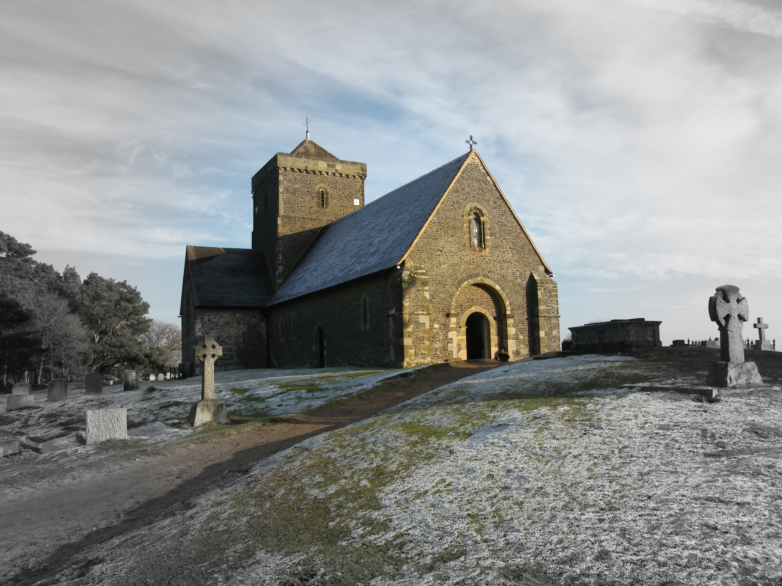
St Martha’s Church in winter from the North West
The five circles at St Martha’s were examined by Grinsell in 1931. Since then one has been destroyed by the construction of a reservoir and another nearly obliterated by the path from the village. In 1954, E S Wood excavated Circle number four to the west of the church. He concluded from an examination of the geology that they could have been constructed anything up to 4000 years ago and that they were sacred enclosures of the Bronze Age. Since then it has been suggested that they are more likely to be the steads of tree-clumps of eighteenth or early nineteenth century date. Due to the acidity of the sand nothing was found but a few flakes of flint. Reportedly the diameter of the circles ranges from 72 feet to 77 feet although my GPS readings suggest a figure of 88 feet for the East circle.

The church from the South East looking across the site of the two eastern rings
260_1 St Martha’s Church and Rings

Plan updated in May 2016
The following text is adapted from Surrey Archaeological Collection volume 54, 10-16.
There were originally five circles at St Martha’s, first mentioned in 1850. In 1876 Dyer, in British Popular Customs, writes that it was the custom, the origin of which is lost in the obscurity of time, for people to make a pilgrimage to St Martha’s (or Martyrs) Hill on Good Friday, and to spend the time dancing and music making around the Norman church (T F Thistleton Dyer 1876). In 1895 (G Clinch and S W Kershaw in Bygone Surrey) wrote that it clearly had no connection with the solemn event celebrated by Christians in this day. Hillare Belloc (The Old Road 1904), knew of the hill’s reputation as a pagan centre and saw it is the holy meeting place of the tribes of the area. W Johnson (Folk Memory 1908) considered a possibility that the two small mounds to the north of the church wall were tumuli and also volunteers the information that when the early Christians erected a church where a heathen temple formerly stood, they performed a dance to their god as the heathens had done to theirs. He thought that the rings may be the remains of a maze. He speculates on the possibility dancing in church is a Christianization of pagan worship. The Good Friday carousels appear to have ceased around the end of the 19th century. The Victorian County History, Volume 3 1911, states that the best of the circles was destroyed by the construction of the reservoir. It is recorded that people still visited the hill on Good Friday in 1914 but the singing and dancing had died out. A fair was held on Ben Piece (open ground down the hill to the west) but had died out before the end of the century. It is known that a processional dance started in Guildford over Pewley Down, and past Tyting. Possibly similar to Helston Furry dance. Apparently the dance was both processional (symbolic of the passage from life to death and back) and round (fertility), and took place outside of the churchyard. It is thought that it died out due to the unseemly boisterousness as befitted a spring festival. Old prints indicate that the churchyard wall may have been circular before 1890. It may be coincidence that St Martha’s was built on Martyrs Hill or could early Christians have been put to death there. Could it refer to sacrifices? There is a tradition that the church was built to commemorate the spot where the martyrs died for why else would a church be built in such an inaccessible spot. Unlike many isolated churches this one was never the centre of a vanished hamlet.
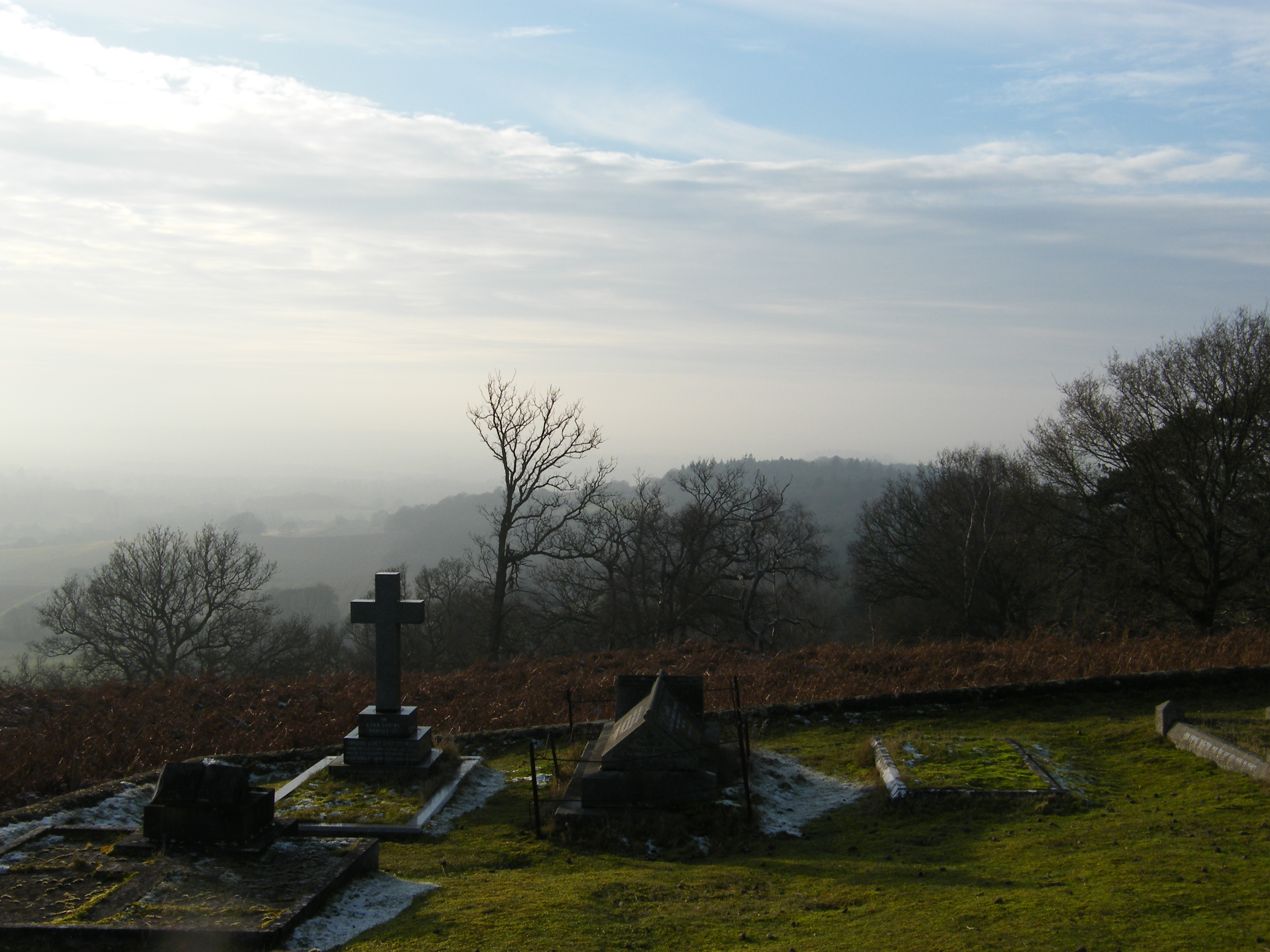
The view West towards St Catherine’s Chapel
In May 2016 I decided to pay a visit to the prehistoric rings at St Martha’s church. I wanted to get out there to have a look before the spring growth completely covered them, and knowing that they were very difficult to see due to the shallowness of the ditches and erosion over the years. I did have a rough survey on plastic film that I carried out possibly in the 1980s, and as I have no memory of it at this distance in time I could not guarantee any sort of accuracy. I also have a sketch plan from the Surry Archaeological Collections published many years ago, and which seems to be the only time a location plan was ever attempted, this bearing very little resemblance to my survey drawing. I needed to check the accuracy of my drawing so used the handheld GPS to record what I could find of the circles. After much searching and wandering around all I could find was the top half of the circle nearest to the church. This was recorded and transposed onto my computer database to compare with the information already entered from my original survey. Although it wasn’t a particularly good fit it did at least prove that what I had on my original drawing was more accurate than the sketch plan from the SAS records. My reason for the interest in these circles was the vague possibility that they may have been positioned in a less arbitrary manner than would seem to be the case on site. Could they reflect the shape of a constellation suggesting an astronomical purpose? Or could they somehow mirror some of the alignments that I have located? Looking at them on the database neither of these seem to be a possibility and at the moment I’m ruling out any interest in these circles, but possibly at a later date their location may be of some relevance.
St Martha’s looking South East