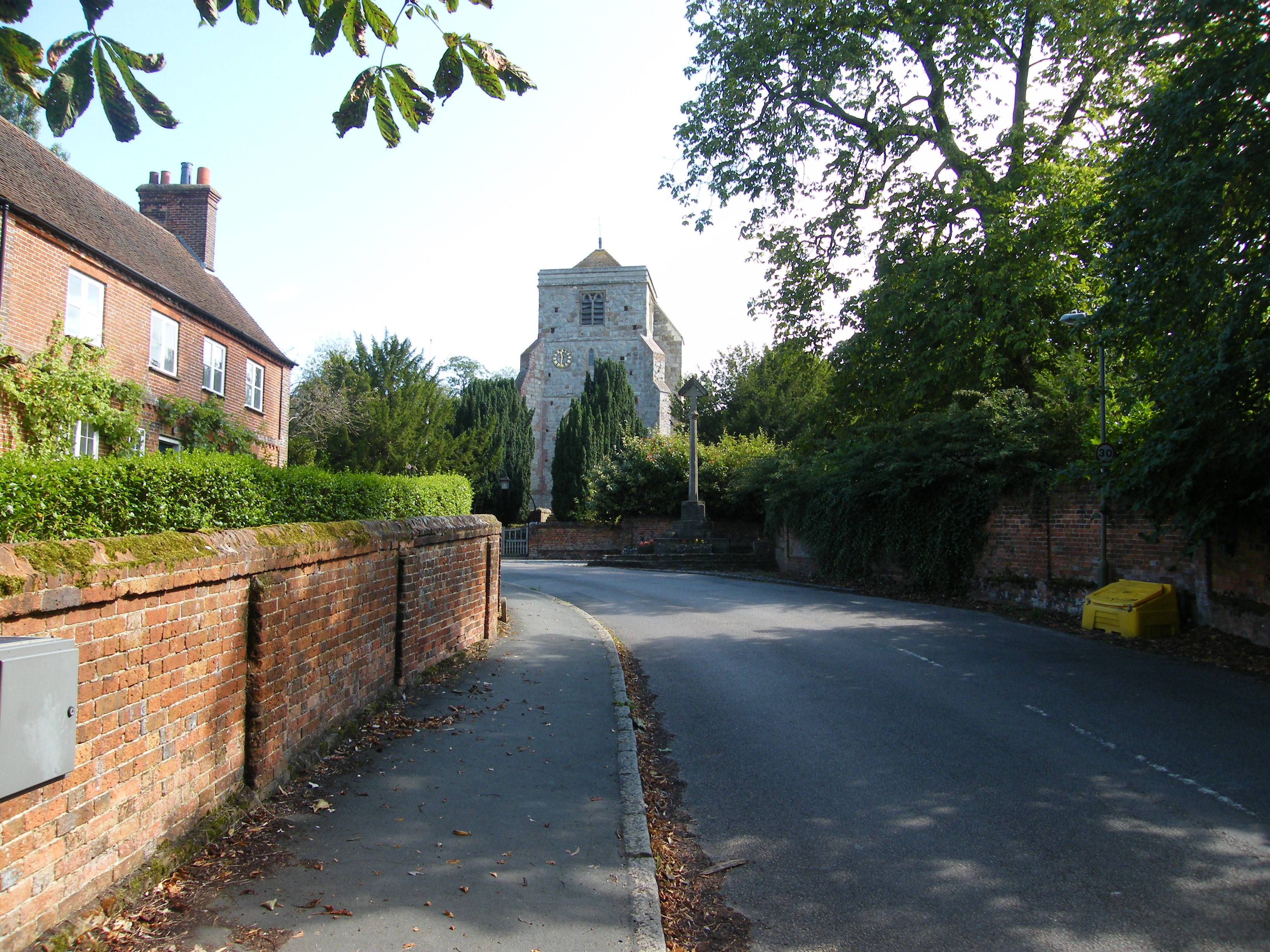
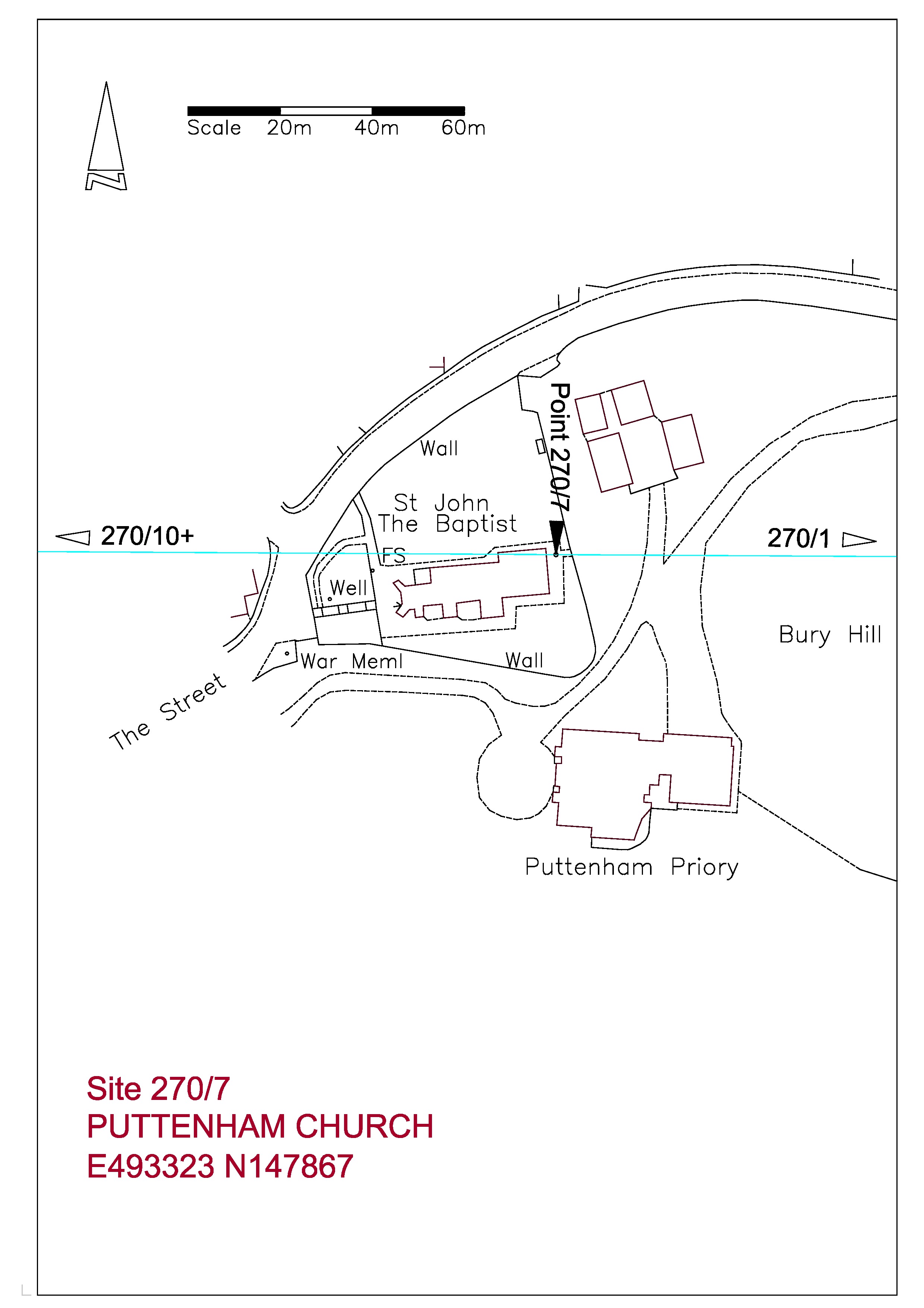
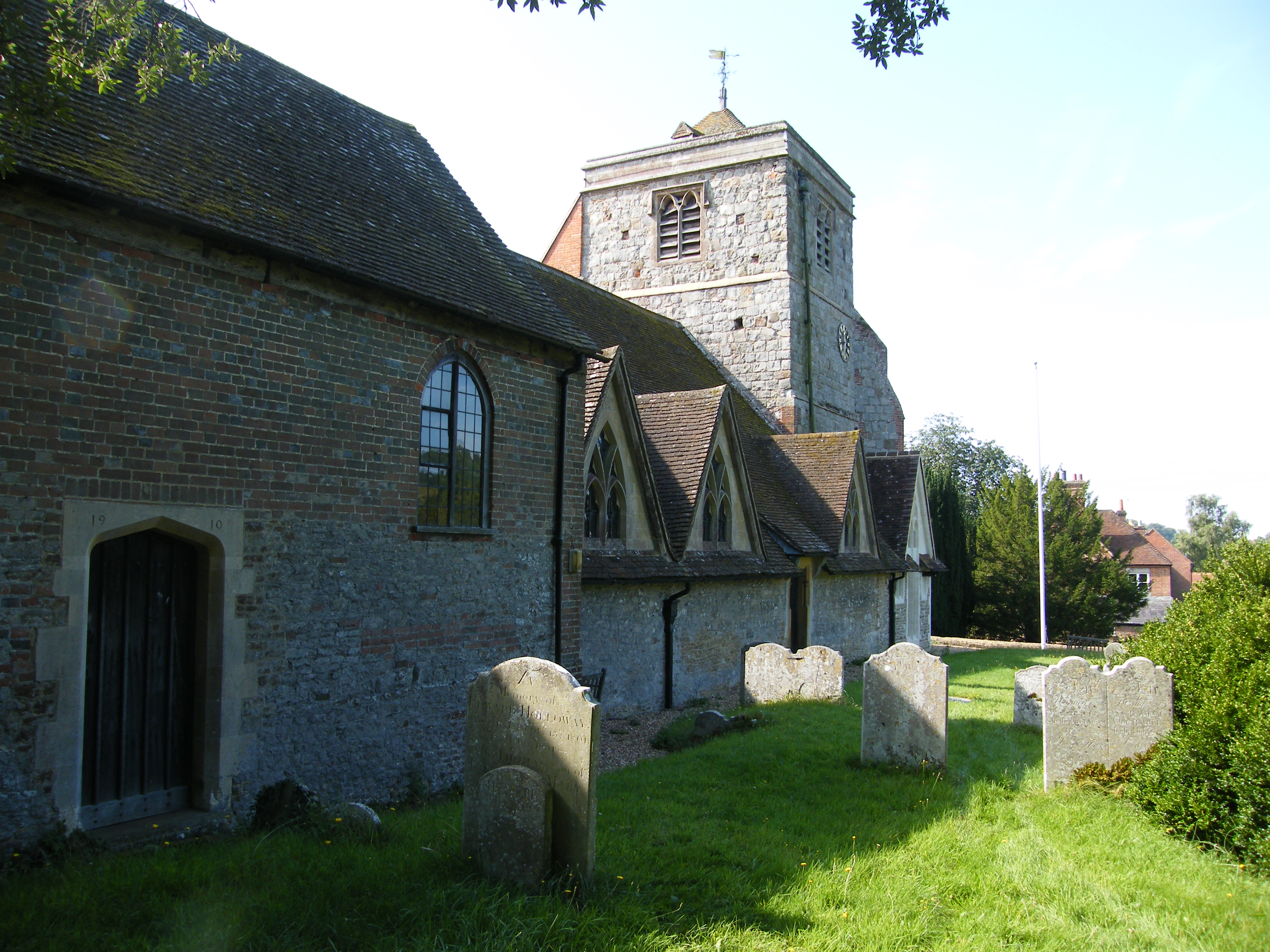
Taking advantage of the glorious sunshine of the last few days, and ignoring the bitter cold, I visited Puttenham to revisit the church and look at Bury Hill. I had downloaded the Ordnance Survey of the area around the church to include Bury Hill to the immediate east and to show more detail around the church. The church itself is a very conventional restoration of 1861 with little to see of its origins. Only the Norman pillars between the aisle and the nave being of interest. The original street ran around the south of the churchyard, through the grounds of Puttenham Priory, and was diverted by the Lord of the Manor around the north side in the 1820s. Although the church stands on rising ground from the village, it does not stand at the highest point, this being the knoll behind the church to the east known as Bury Hill. It has been suggested that the name originates from the existence of a Bronze Age round barrow on the crown. Bury Hill is now in the grounds of Puttenham Priory, currently the home of Roger Taylor the Queen guitarist, and is not accessible. It is possible to walk the north and east limits along the road and it can be seen that the top of the hill is some five metres above road level and would have been a prominent landscape feature before the present dense vegetation developed. Once again we see the possibility of a religious site evolving from pagan origins.


The LIDAR image below, with the church outlined in red, shows very distinctly the extent of Bury Hill in the centre.
Referring to the plan at the top of the post it will be seen that the SEALE LINE passes through the inside of the above wall to the Manor Chapel on the left. More clearly understood by comparing with the floor plan below. The seven Druid Mile point is just off the east corner of the Manor Chapel.


