The following Page is copied into Posts because it seems very few visitors look beyond the Posts and therefore miss this important finding which is crucial to the credibility of the pattern.
The CROOKSBURY LINE at 232.32 degrees from North would appear to be aligned to the mid-winter sunset. At just over 7 Druid Miles (DM) the line passes through St Bartholomew’s Church at Wanborough. At just over 8 DM, and on the extremity of visibility, lies the site of the Hogs Back Barrow on a high ridge which appears to be the aiming point for the midwinter sunset. The line then passes close by Hillbury Hillfort at 10 DM, but it is other alignments which pass through the fort itself, and then carries on to Culverswell Barrow. Although precisely on the line it is slightly beyond the 12 DM point at the crest of the hill. Carrying on down the hill the alignment terminates between two very close tumuli known as Crooksbury Barrows. Nothing has so far been found beyond this point.


RED LETTER DAY
On 25 July 1979 I finally proved to my own satisfaction that at least one of the alignments was laid out intentionally by prehistoric peoples. I had always realised that my case would be greatly enhanced by the discovery of a previously unrecorded barrow in a precise location predetermined by myself prior to a site visit.
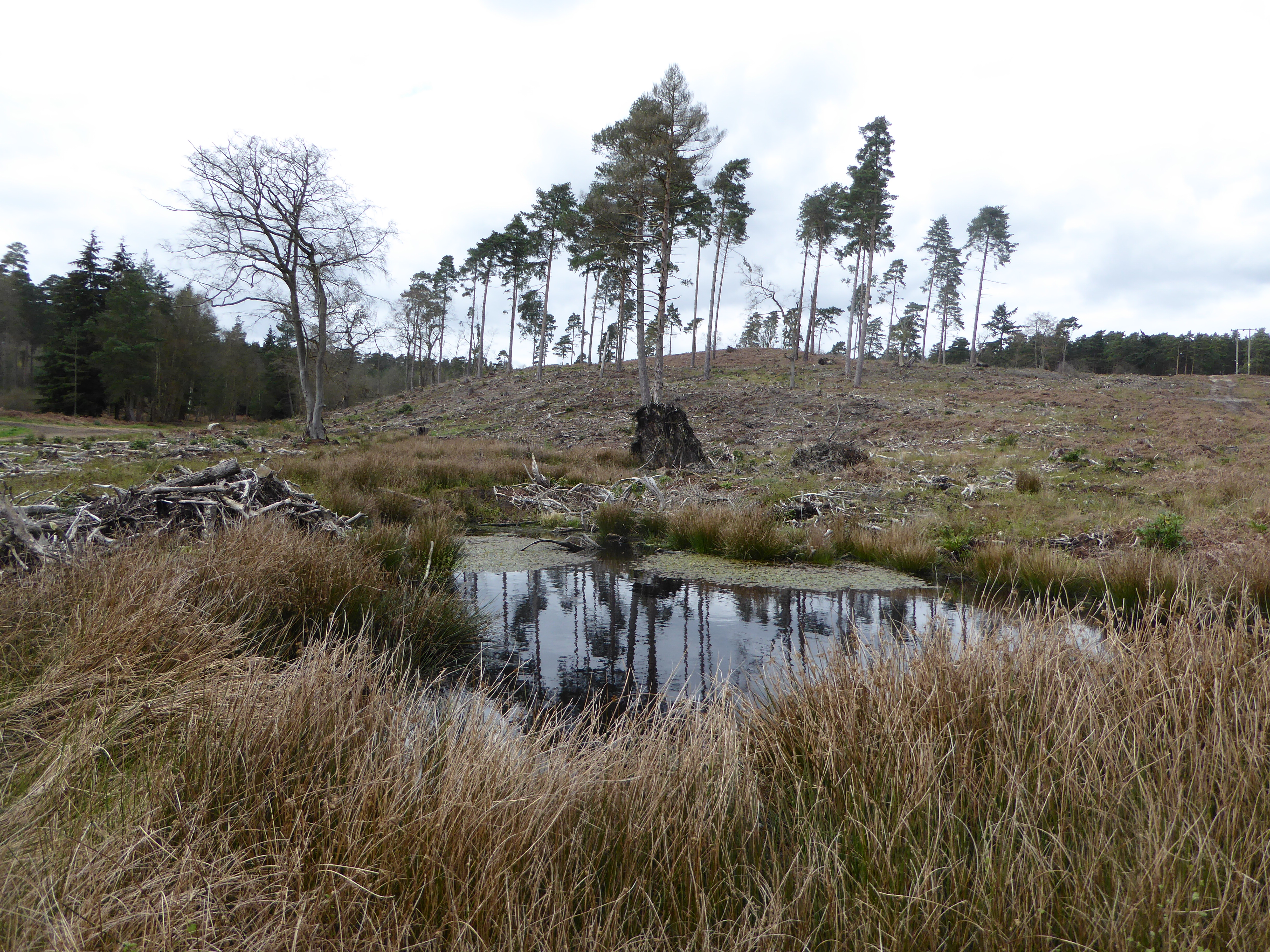
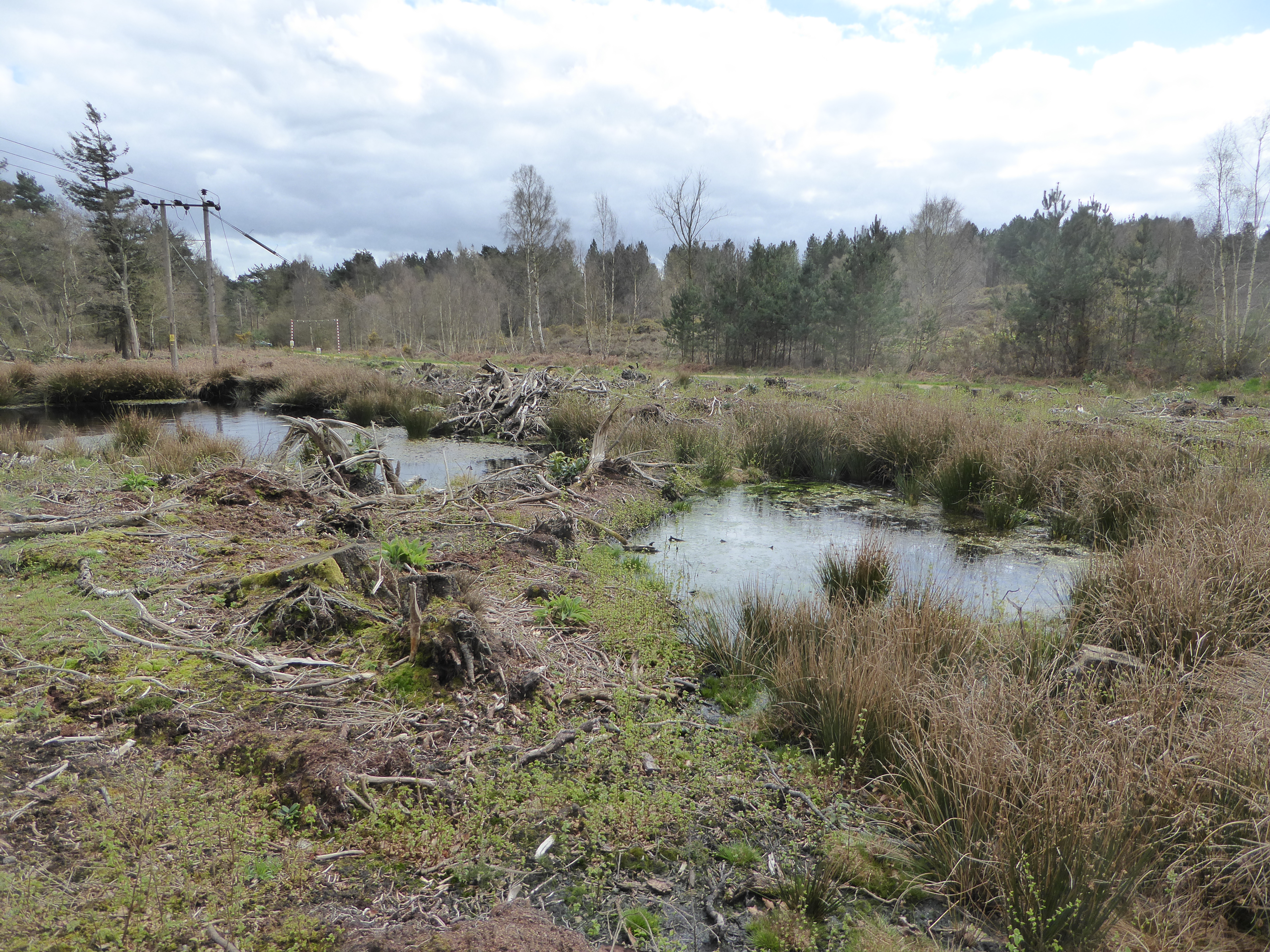
It had seemed logical that one would be more likely to find a prehistoric site on the highest point of an alignment and so profiles were produced using the contours shown on the Ordnance Survey six inch to the mile maps. These proved very useful for the demonstration of sightlines and showed several high points where no ancient site was recorded. One of the most prominent of these was at Culverswell Hill on Crooksbury Common at the south western end of the CROOKSBURY LINE. The alignment was followed on a compass bearing from the well-preserved bowl barrow about 300 m to the South West. After negotiating some dense rhododendron bushes I emerged onto the pine covered plateau to the North West of the bluff to be confronted by a large mound surrounded by a shallow ditch. It was so obviously a barrow that it was quite beyond me that it was unknown to the Surrey Archaeological Society. The top was deeply cut by a badly eroded cross- trench indicating that it had been dug into at some time in the distant past but had remained unrecorded. The following weekend a tacheometric traverse was carried out from Littleworth Cross to the mound through the nearby Crooksbury barrows and back to the road thus establishing a grid reference for my survey pegs by the barrow to 1m of accuracy. When plotted onto the 1 to 1250 Ordnance Survey sheet it would seem to be in alignment as predicted.
The barrow has since been visited by the County Archaeologist who requested the county’s foremost expert on the Bronze Age. Mr Stuart Needham, to give his opinion. Mr Needham ruled out the alternatives such as a windmill stead, or landscaping and concluded his report by expressing great surprise that such a fine prehistoric monument had remained unrecorded in an area well known for its earthworks. I suspect that one reason is that most people walking in this area of Scots pine covered sandy hills would use the established paths. The path which crosses below the bluff affords a view up to the barrow but as no ditch is visible from the south side owing to the erosion of the slope, the earthwork appears to be merely the top of the small hill. The ditch and mound are only obvious when viewed from the North, the least accessible direction.
Letter to Dr D G Bird, County Archaeological Officer, from Stuart Needham.
‘Dear David
ROUND MOUND ON CULVERSWELL HILL C. SU 89234561.
Thank you for notifying of this earthwork; I have recently had the opportunity of visiting the site. I found a sizeable round mound approximately 24.8m diameter and perhaps approaching 2m in height.
The top of the mound has been mutilated in the past by the digging of a cross-shaped trench, now much silted. Around roughly half of the mound’s base may be detected traces of a ditch 2.8m across and at present barely 0.2m deep. The mound is sited on the end of an eastward facing spur with steep slopes on three sides. The ditch peters out here, perhaps there having been no necessity for it, or otherwise it has been removed or concealed by a greater degree of erosion down the slopes. Inspection of the side of a foxhole suggested a possible composite mound structure, but as usual such evidence is ambiguous. The ground to the west rises gently and evenly with no indications of undulations frequent in this sort of sandy terrain resulting from natural agencies, or extractive disturbance. There are some rhododendron clumps immediately to the west of the mound, but no sign of any associated landscaping.
In my opinion the extant features – the size, circular plan, evidence for a ditch, and its siting – are strongly in favour of it being a genuine ditched bowl barrow, which would of course normally be referable to the earlier Bronze Age. Other possibilities such as a natural mound, a feature of relatively recent landscaping, or the base of a post windmill, can I think be reasonably dismissed for the present.
It really is astonishing that that such a fine upstanding monument should have escaped notice for so long in view of the proximity of the triple (sic) bell barrow on Crooksbury Common!
Best wishes
Stuart Needham’
In the summer of 2015 the site was visited with the purpose of carrying out a GPS survey and the resultant coordinates were added to the AutoCAD database. This showed that the original survey was accurate and that the barrow was indeed perfectly on the alignment.