LIDAR (Light Detection and Ranging) is an airborne mapping technique, which uses a laser to measure the distance between the aircraft and the ground. Up to 100,000 measurements per second are made of the ground, allowing highly detailed terrain models to be generated at spatial resolutions of between 25cm and 2 metres.
At the moment I am working on an area of some ten kilometres square centred on the barrow I discovered on Culverswell Hill (see CROOKSBURY LINE). So far I have selected some landforms and listed the positions as Ordnance Survey coordinates. I will be visiting the sites and locating the positions using a Garmin hand-held GPS with the hope of some positive results.
Unfortunately, the LIDAR data comes at a cost; the Crooksbury area came to nearly £50. Also it is difficult to manipulate due to the large size of the data files. The above area was a composite of several downloads into AutoCAD and care had to be taken not to crash the computer.
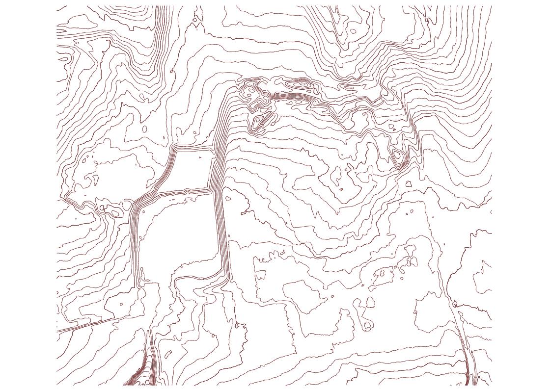
This is a sample of LIDAR taken from a recent job. The contours are at one metre intervals. On my project, I plot them at half metre intervals for more detail. In this example, the rectangular area is a recreation ground and the bumps and humps are old mineral workings.
It should be noted that LIDAR is capable of penetrating trees and vegetation and the contours are the height of the terrain.

