Whilst looking at the work of ley researcher Michael Behrend I noted a reference to a long distance ley. Although I am not a fan of such alignments, having found them to be inaccurate at best, but this one mentioned passing through my area of interest taking in Hillbury Hillfort, Compton Church and Deerleap Barrow towards Dorking. This barrow had not been included in my researches as it is outside the area I had originally decided upon.
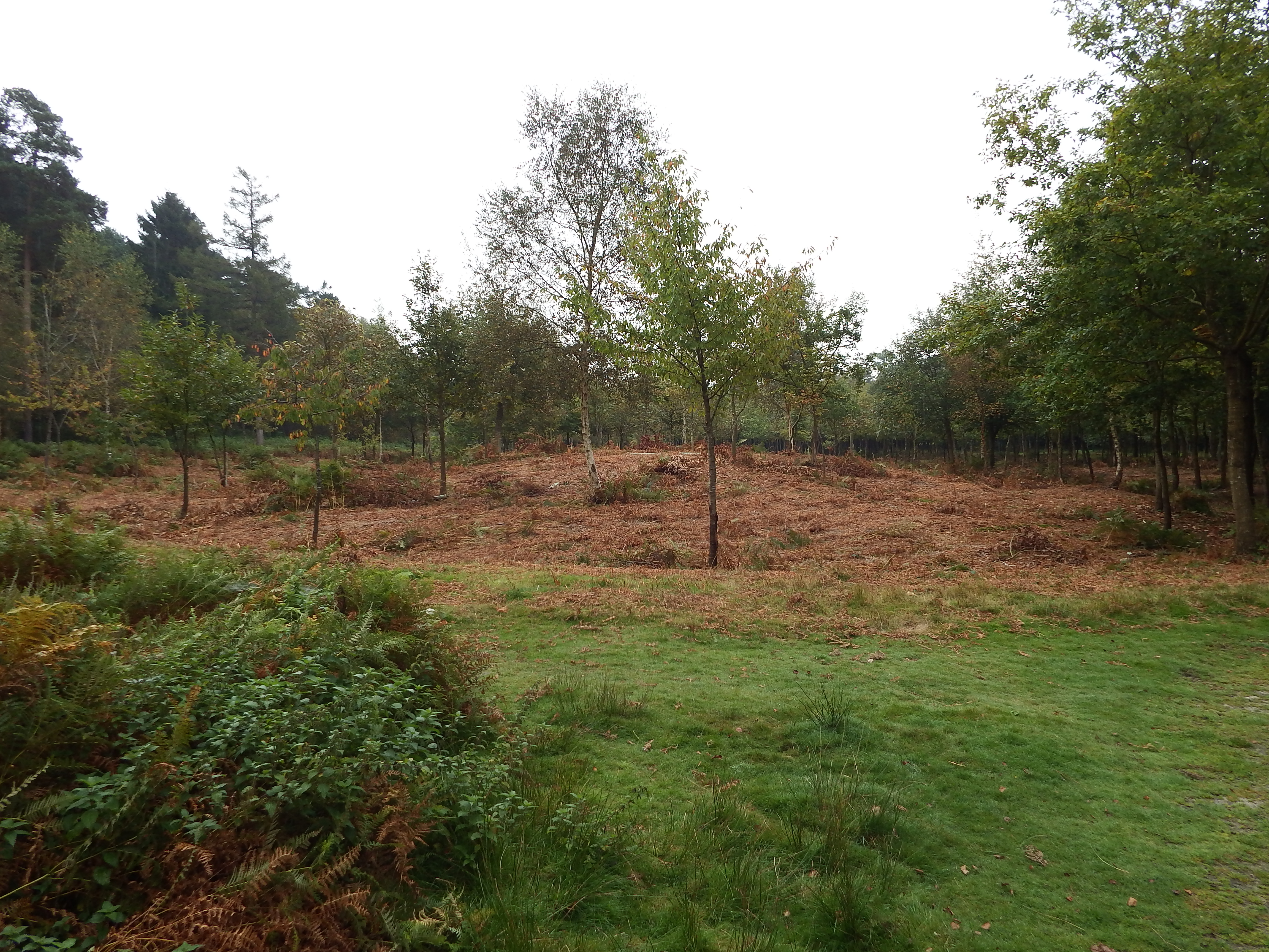
I had never seen Deerleap Barrow as it is in private woodland about half a mile north of the Wotton Hatch pub on the A25 east of Abinger Hammer, and as I did not know the identity of the land owner decided on a bit of non-intrusive trespassing. The barrow was easy to find, standing out on an area of cleared land in the deciduous woodland. GPS readings were taken at around five metre intervals around the perimeter ditch and photographs taken. The barrow was planted with saplings – incredible that this is allowed on a Scheduled Ancient Monument! Upon leaving the land a notice was seen stating that the private woodland was part of the Wotton Estate.


In the office the downloaded and adjusted GPS readings were compared with the downloaded Ordnance Survey extract and found to be an extremely good fit.
The barrow was then included in my database and revealed a fresh alignment hitherto undetected. Starting at Deerleap Barrow the alignment, at a bearing of 266 degrees, passes through the east wall of Shere churchyard at four Druid Miles (DM); through the 1842 parish church in Albury (site relevance problem); passes through Chilworth moated site at around 10.5 DMs (more site relevance problems); Compton Church is at precisely 16 DMs, this is the fourth alignment to pass this church; the point at 20 DMs is just on the inside edge of the south ramparts of Hillbury Hillfort. Further points to the west await research.
October 2014
