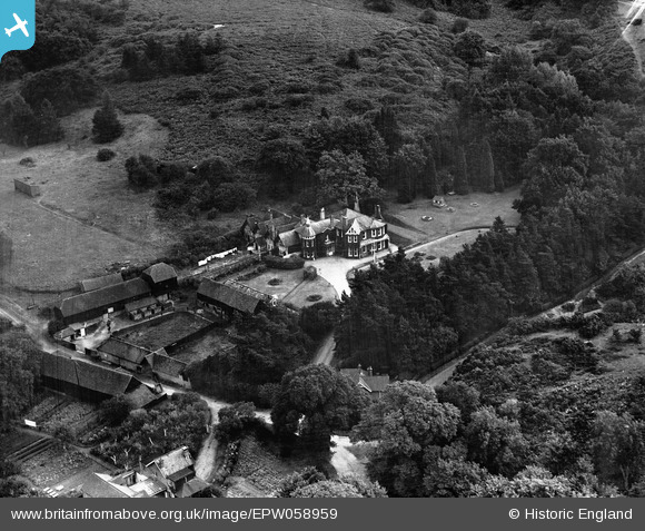
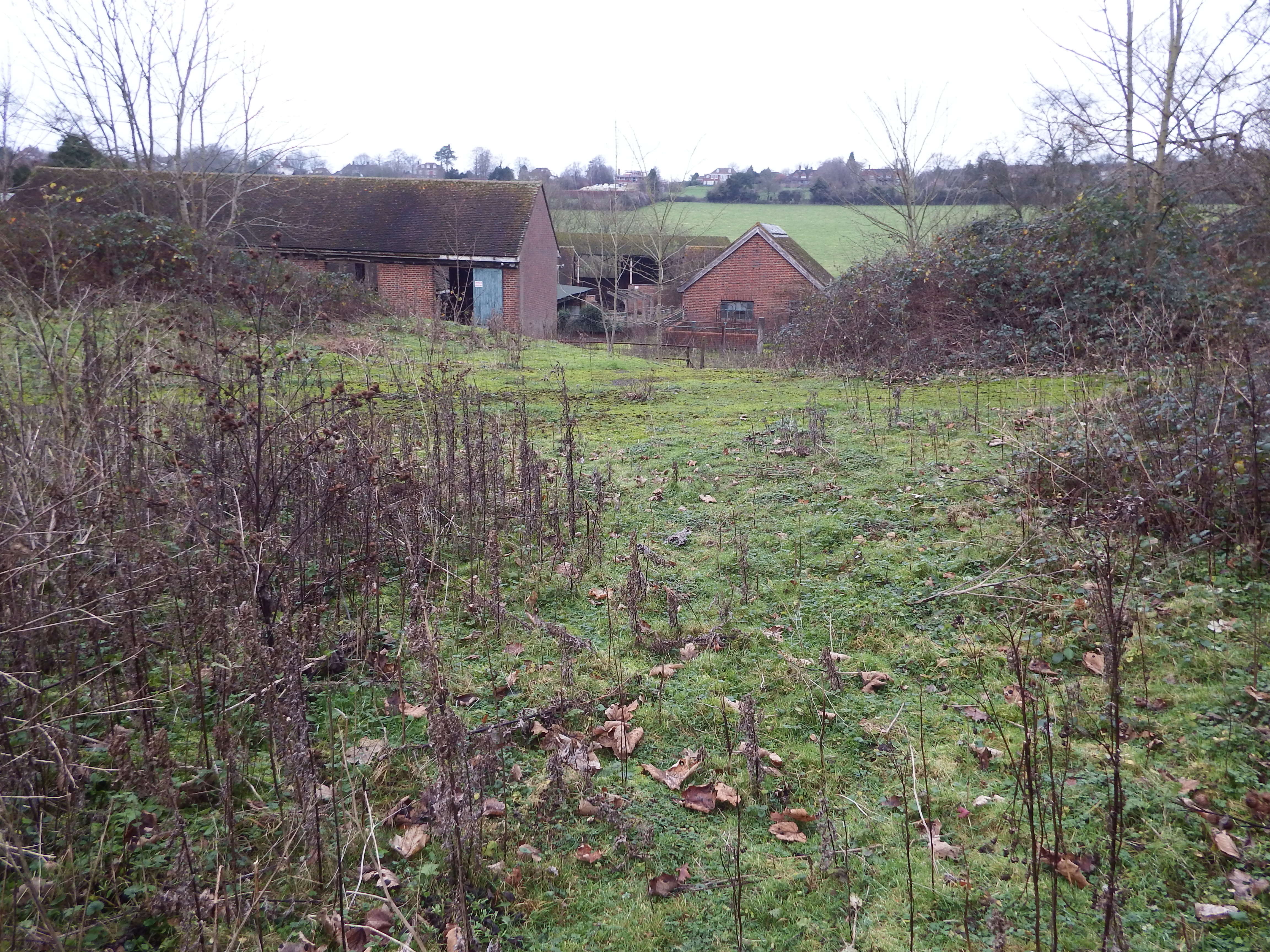
This is a strange place – a deserted farm. The chapel, believed to date from the 13th century and shown as an Ancient Monument symbol on the site plan below, stood just to the south of the ruinous 1960s dairy buildings and was incorporated into the farmhouse of Tyting Farm when it was rebuilt in 1609, firstly as a kitchen and later, when the house became a private residence known as Tyting House, as a dining room. In 1942 both Tyting House and Tyting Farm were acquired by the council from the Duke of Northumberland Estate to prevent undesirable development but shortly after were requisitioned by the War Department as a training establishment for spies, possibly associated with the highly secret Special Operations Executive base at Wanborough Manor (See CROOKSBURY LINE). Tyting House was demolished in 1957, together with the historic chapel. The site was in a dire state and the whole farm, including a historic barn, was razed to the ground and a modern dairy unit constructed.

It has been postulated that Tyting is the site of a monastic estate. It is certainly very ancient, listed in the Domesday Book as Tetinges, and being in the holding of Bishop Osbern.
There is a short article in the SAS Collections of 1921 Volume 34, published before the house and chapel were demolished, ending with the intriguing sentence ‘An underground passage is said to run from Tyting to St Martha’s, and though this seems improbable, the entrance to a passage From Tyting is still shown’. Shown where and how? There is no clue in the article to explain this.
The AM symbol is only 29 metres from the alignment and it is possible that the original monastic buildings could have been situated on the line, evolving from earlier sacred usage. Unfortunately this area is much disturbed, probably destroying much of the underlying archaeology.

The alignment (Line 152) passes through the turning area in front of the boarded-up house ‘Tyting Rise’ some 29 metres east of the Ancient Monument symbol. The stone retaining wall to the turning area can be seen in the photograph below.

TYTING MOUND (Labelled ‘Tumulus’ on the plan above)
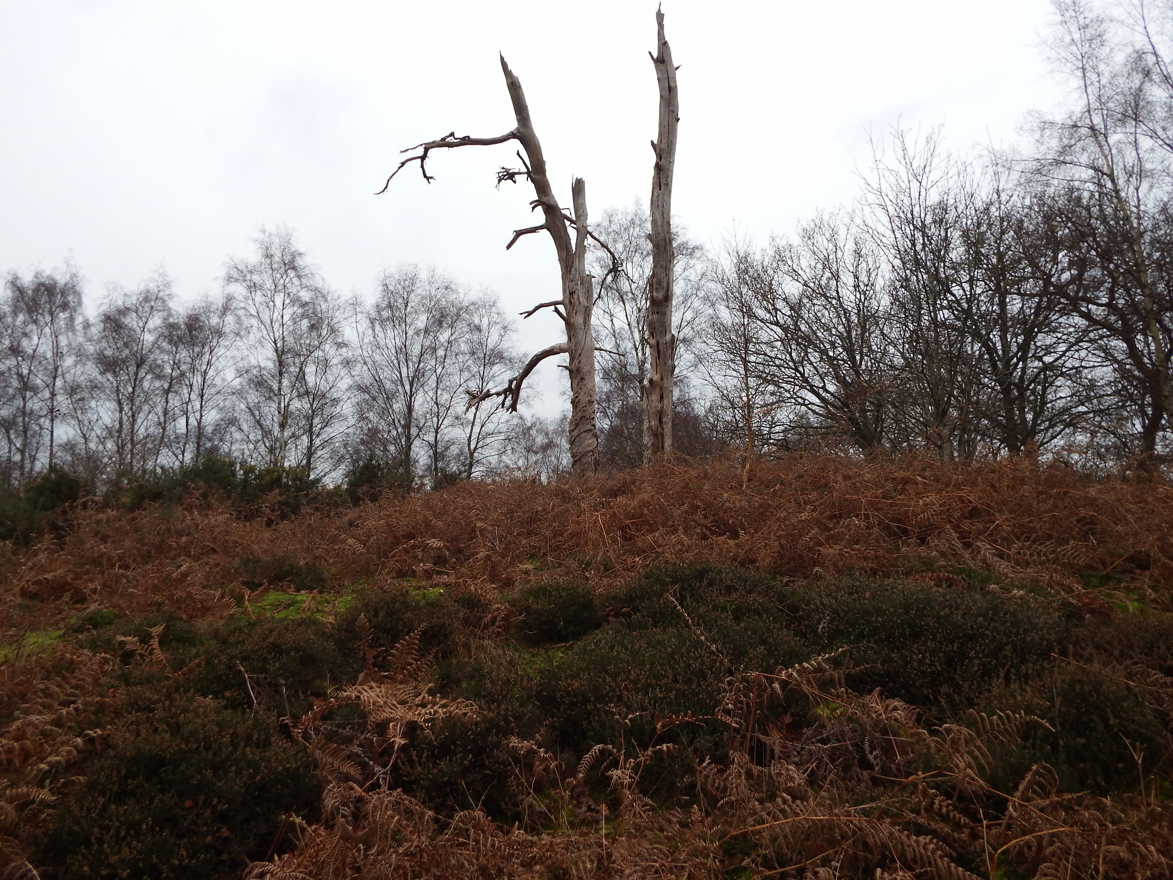
Labelled as a tumulus by the Ordnance Survey and certainly has the appearance of one. As far as I know, it has never been excavated, and some opinions suggest the possibility that this is a landscape feature of the 18th century. Usually these features were planted with pines or firs, and these old stumps would support that argument. Nonetheless it was one of the first earthworks in Surrey to be protected as a Scheduled Ancient Monument.


My mother, Pat Long, and her family lived at Tyting House from 1936 to 1942. The chapel was their dining room. It had eleven bedrooms and thirty acres. They had a full staff who mostly lived in. I have pictures of the house and grounds if anyone would like to see them.
My mother was the daughter of William (Billy) and Eileen Long and had three siblings – Michael, Ann and Elizabeth. She was the last of them to die, four years ago aged nearly 90.
Thank you Rebecca,
It is always fascinating to get these snippets of information. I hope my bit of research was of interest to you.